
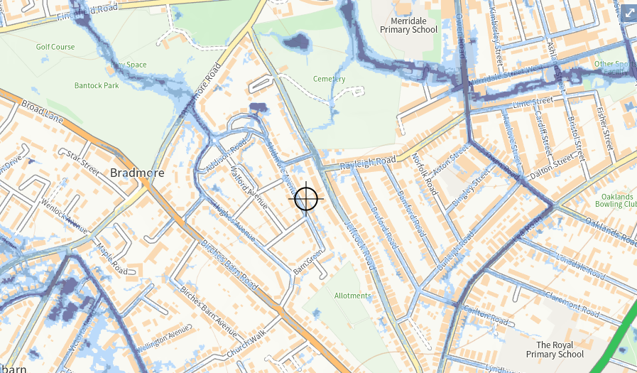
Flood Risk Assessments (FRA) are a crucial step in the development process, as they help identify potential flood risks and inform the design of flood protection measures. They are used to assess the likelihood of flooding from various sources, such as rivers, the sea, and surface water, and to determine the potential consequences of a flood event.
The process of conducting a Flood Risk Assessment typically includes the following steps:
- Identifying the source of flooding: This step involves identifying the potential sources of flooding, such as rivers, the sea, and surface water.
- Determining the likelihood of flooding: This step involves assessing the likelihood of flooding from each identified source, taking into account factors such as weather patterns, topography, and land use.
- Assessing the potential consequences of flooding: This step involves determining the potential consequences of a flood event, such as damage to property and infrastructure, and the potential impact on human health and the environment.
- Identifying and evaluating potential flood protection measures: This step involves identifying and evaluating potential flood protection measures, such as building flood walls, creating flood storage areas, and raising the level of existing structures.
- Developing a flood management plan: This step involves developing a comprehensive flood management plan, which sets out the measures that will be taken to reduce the risk of flooding and to mitigate the consequences of a flood event.
It is important to note that Flood Risk Assessments should be conducted in accordance with local regulations and guidelines and using professional flood risk assessment consultants. The assessment should be done by a qualified professional with experience in this field.
For more information on Flood Risk Assessments, you can visit the following websites:
- The Environment Agency (UK): https://www.gov.uk/guidance/flood-risk-assessments-in-planning